What is the short answer?
A nautical mile and a statute mile are both units of distance, but they are not the same length. The international nautical mile is exactly 1,852 meters. The statute mile, the everyday mile used on US roads, is exactly 1,609.344 meters. One nautical mile is therefore about 15 percent longer than one statute mile, and one statute mile is about 13 percent shorter than one nautical mile. The two percentages look alike but use different bases, which is why the units are so often confused.
For a boater, the practical rule is simple. Do not assume a distance or speed is in statute miles, and do not assume it is in nautical miles, until the chart, document or instrument tells you which unit it uses.

How long is each unit?
The nautical mile is defined by international agreement as 1,852 meters, or about 6,076 feet. The American Meteorological Society glossary records this definition and states that one nautical mile equals about 1.1508 statute miles. Because the value is a fixed definition, it does not change with your location or with the instrument you use.
The statute mile is defined through the foot: 5,280 international feet, which equals 1,609.344 meters. The National Institute of Standards and Technology (NIST) publishes the official US conversion factors for these units in Special Publication 811, the federal guide to units of measurement. Its appendix lists the factors alphabetically, and that is the reference to consult if you need an exact figure for a report.
Why do mariners use the nautical mile?
The unit has a practical origin in the geometry of the Earth. One nautical mile corresponds roughly to one minute of latitude, which is why nautical charts carry a latitude scale along their margins. A navigator can lay dividers against that scale to measure a distance without a separate ruler. The match is close enough for everyday navigation, and the chart’s own scale bar remains the reference for measurements on that chart.
The unit also links distance to speed. A knot is one nautical mile per hour, so a vessel making 10 knots covers 10 nautical miles in an hour. Wind speed and current are reported in knots on most marine products as well. Using one unit for distance, speed and time means you can work through a passage with a single set of numbers, which is harder when miles and hours are mixed.
How do you convert between the two?
Keep four conversion factors on your passage notes and use them consistently.
- To turn nautical miles into statute miles, multiply by 1.1508. Ten nautical miles equal about 11.5 statute miles.
- To turn statute miles into nautical miles, divide by 1.1508, or multiply by 0.869. Ten statute miles equal about 8.7 nautical miles.
- To turn knots into miles per hour, multiply by 1.1508. Twenty knots equal about 23 miles per hour.
- To turn knots into kilometers per hour, multiply by 1.852.
Because a knot is a nautical mile per hour, the knot-to-mile-per-hour factor is the same as the mile factor. Convert once, at the start of your calculation, and carry the result in one unit. Rounding the factor too early, for example to 1.2, can add a noticeable error over a long passage, so keep at least four significant figures when planning.
Which unit do charts and forecasts use?
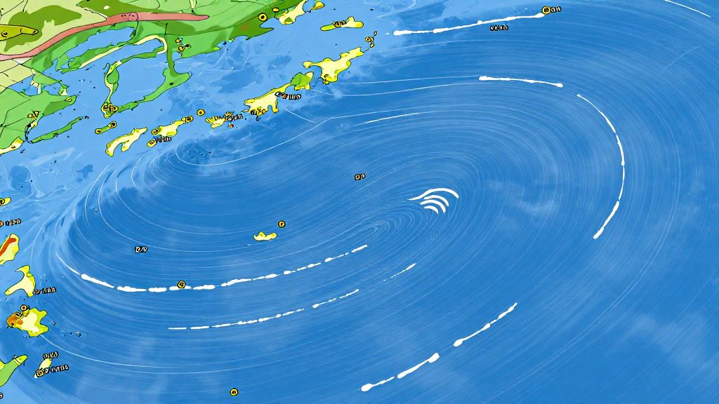
Nautical charts express distances in nautical miles, and their scale bar and legend show the unit in use. Read that label before you measure. The US National Hurricane Center gives storm strength in knots first, with miles per hour and kilometers per hour in parentheses. Its glossary, for example, gives tropical storm strength as 34 knots (39 mph or 63 km/hr) to 63 knots (73 mph or 118 km/hr). These are the same speeds in three units, so compare numbers only within the same unit.
Marine weather forecasts generally give wind speed in knots, but the exact wording differs between issuing offices. Read the unit label on each product, and if the label is missing, check the issuing agency’s product description before using the figure.
Road maps, road-mode navigation apps and roadside signs use statute miles. Some inland or river maps may also use statute miles, so the scale bar, not the name of the unit, tells you what you are measuring.
When should you double-check the unit?
Check the unit every time a number will affect a decision: distance to a hazard, fuel range, time to a bridge or bar crossing, or the wind speed that determines when you reef. Mixing the units can produce a real error. Suppose a chart shows a leg of 50 nautical miles and you read it as 50 statute miles. You would convert it to about 43.4 nautical miles and underestimate the leg by about 6.5 nautical miles, roughly 13 percent. That gap can erase your fuel margin or your daylight margin.
Use these precautions on every passage:
- Write the unit next to every figure in your passage plan.
- Read the scale bar and the unit label before you measure anything on a chart.
- Convert once, at the start, into the unit your chart uses, and record the conversion on the plan.
- Take wind and sea state from the official forecast and its unit label, not from an unlabeled app figure.
- If a figure has no unit, do not use it for a decision. Find the source’s documentation or confirm the unit with the issuing agency first.
Frequently asked questions
Does one nautical mile equal exactly one minute of latitude?
Only approximately. The nautical mile is a fixed length of 1,852 meters, while a minute of latitude varies slightly between the equator and the poles because the Earth is not a perfect sphere. Charts use the latitude scale for quick measurement, but the defined length is the reference for exact work.
Are survey miles used on the water?
Not for navigation. Survey measurements on land in some countries use separate survey units that differ slightly from the statute units. They are not nautical miles, and marine charts do not use them.
Can a phone navigation app show nautical miles?
Many marine chartplotter and navigation apps let you choose nautical, statute or metric units in their settings. Check that setting before a passage, and confirm distances against the official chart for your area.